Rockridge Engineering

ENERGY AND MINING

We provide a leading-edge geotechnical service for our clients in areas including offshore and onshore oil and gas and renewable energy (wind, Geothermal and hydro-power). We also provide geotechnical expert services to Governments investing in energy sector in Africa.

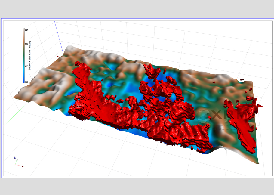
We provide information about geology at depth in the Earth's crust and help to define areas of mineral or energy resource potential. The information provided by field geologists is used to produce geophysical-geological map interpretations and to build 3D models of crustal geology. Geophysical data are also used with outcrop maps to validate geological cross-sections.Gravity surveys can be ground-based or airborne and help define areas of mineral potential.

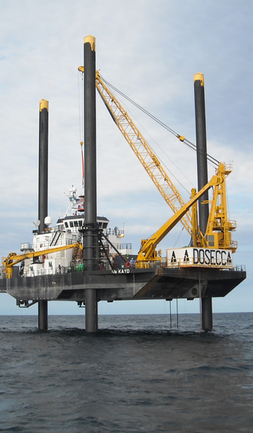
We are also recognised for our offshore geotechnical expertise. New methods and equipment for investigating the characteristics of the underground has always been one of our focus areas. Our experts can predict the behaviour of soil when exposed to cyclic loading from waves and wind on platforms and other offshore structures. Our Services in Energy and Mining Sector Include;
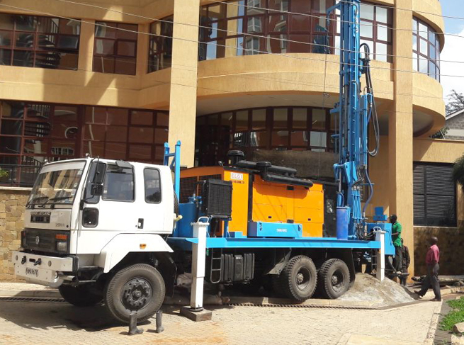
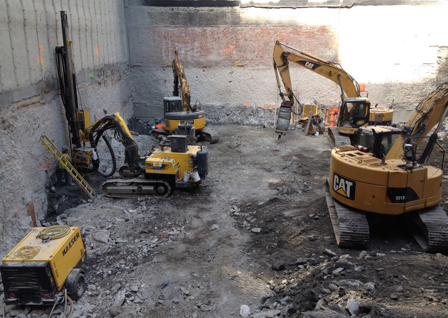
  • Site investigation
  • Engineering geology and geohazards
  • Geomorphology
  • Rock slope stability
  • Soil slope stability
  • Hydrogeology
  • Foundations and substructure engineering
  • Offshore geotechnics
  • Geoenvironmental engineering
  • Ecology in ground engineering
trucking
trucking

MAPPING FOR GROUND HAZARDS

Geophysical surveys involve measuring the physical properties of the ground (or structure) and determining if there are any variations or ‘anomalies’ in the background readings. The occurrence of anomalies can indicate the presence of a feature(s) or changes in a material’s composition.

Many sites may have multiple hazards or requirements; for example a site may have possible archaeological features, buried fuel tanks associated with its recent use and utility apparatus within and adjacent to it. Rather than treating each of these as separate issues a geophysical survey utilising a range of techniques can be carried out which could potentially identify where each of the possible hazards or features are. If the project aims and requirements are made clear prior to commissioning a survey then a more cost-effective strategy can be adopted.

BOREHOLE DRILLING

You don't need to have travelled to Africa to know that water scarcity poses one of the biggest challenges for this continent: 345 million Africans do not have access to water.

Non-goverment organisatios (NGO) and Governments are continuously trying to raise funds that will cover the costs of drilling boreholes in an attempt to access portable water that may be running below the surface.
When they succeed, thousands of lives are improved.

But without incorporating geophysical and geological observations, boreholes may miss the spot by as little as 100 metres and deliver unusable salty water.
This is where our proffessional services come in.

trucking
trucking

CONSTRUCTION AND CIVIL WORKS

The geotechnical investigations are carried out in construction site before building non-residential civil buildings (such as libraries, hospitals, office buildings and etc.), industrial buildings (such as factories, warehouses and etc. ) and multi-store buildings.

Our geotechnical investigations are carried out by the following field methods:

1.Borehole drilling with disturbed or/and undisturbed soil sampling for laboratory tests;
2.Cone penetration test (CPT);
3.Cone penetration test with pore water pressure measurement (CPTU);
4.Dynamic penetration test (DPSH).
5.Laboratory testing of soil physical and mechanical properties.

After field work and data interpretation, we will provide geotechnical report, which contains information about:

  • Site topography; Natural soil and rock lithological structure; The thickness of fill;Groundwater level depth; Groundwater aggressiveness to the concrete;Exogenous processes which are taking place in the construction site;The physical and mechanical properties of soils and rocks; Rock karstification degree if the field works were carried out in the karst region